Wednesday, August 21, 2013

Fernandina Beach, FL to Wahoo River, GA August 20

Fernandina Beach Paper Mill
Can You See the 2 Bald Eagles?
As we departed Fernandina Beach, Kay enjoyed (not) the aroma of their paper mills…reminiscent of her East Texas childhood. 


King's Bay Sub Base Degaussing Unit
Cumberland Island Wild Horse
After crossing the St. Mary River into Georgia, we soon passed the King’s Bay Naval Submarine base, and then moved northward behind Cumberland Island.  We saw lots of scenic marsh and trees, and near the northern end a number of the wild horses for which Cumberland Island is known.  We then passed Jekyll Island, former winter retreat  of many wealthy industrialists of a century ago, and St. Simon’s Island. 


St. Simons Island, GA
Can You Count the Surplus Nav Aids?


We crossed Sapelo Sound, and reached the Wahoo River where we anchored in a scenic bend with trees on one side and marsh on the other.  A full moon rose later, creating an idyllic isolated retreat. 


Wahoo River, GA North Side
Wahoo River, GA South Side


Monday, August 19, 2013

St. Augustine, FL to Fernandina Beach, FL August 19


We departed St. Augustine, passing through the Bridge of Lions at its 0730 opening behind the 80-foot motor yacht that had arrived in the marina last night.  The ICW was quite convoluted, and we finally arrived at the St. John River at Jacksonville about 1135.  The challenges had just begun, as numerous areas between the St. John and St. Mary’s rivers were badly shoaled.  Using Skipper Bob, Waterway Guide, and Active Captain together we managed to navigate the course to Fernandina Beach, but not without considerable stress and a sore neck as the result!  Things were especially difficult around the Nassau River, and also just south of Fernandina Beach, where we saw the clearly marked channel to the Amelia Island Yacht Basin with markers on both sides of an absolutely dry roadbed instead of a channel containing water!  After arrival in Fernandina Beach, we fueled at a commercial dock with fixed pilings (our flybridge was below the level of his dock) that showed that this morning’s tide had been 7 feet higher!  Florida sales tax was waived since we will be leaving the state immediately on our departure from this city, and having saved a great deal of money, we docked at the adjacent municipal marina, went sightseeing in the old downtown area, and ate dinner.  Amelia Island is a beautiful place, though things are a bit slow between summer and winter tourists at this point.   There is lightning on the horizon, so I suspect that Florida will once again come through as it has almost without exception over the last 7 ½ weeks of our stay here with at least some daily rain!

Daytona Beach, FL to St. Augustine, FL Aug. 16-18


We turned in our shower keys on the way past the marina fuel dock as we departed by depositing them in the dip net extended from shore by the marina attendant as we drove past.  Shortly north of Daytona we were joined by a family of dolphins who swam alongside our boat for at least two miles.  Though the juvenile was obviously working at swimming with a vertical orientation, mommy (or daddy?) seemed to prefer swimming with about a 30-degree incline away from us, so that each time she sounded her eye was angled straight up to monitor my actions on the flybridge! 
Look Beneath the Surface for #2
2 of the 3 of us
We passed a number of shoaled areas and interesting spots en route north.  Matanzas Inlet, with the remains of Fort Matanzas, occupies an interesting place in Florida history as the location often invaded by foreign forces seeking to conquer St. Augustine with its more formidable defenses.  In Palm Coast we saw no fewer than 4 or 5 manatees surfacing near the boat.
Fort Matanzas, FL
St. Augustine, FL

On arrival at the St. Augustine marina, we docked fighting a very noticeable current.  A number of pictures from our great three days spent touring that historic city are attached.

 
Low Tide--note angle

High Tide, note angle


Ponce DeLeon
St. Augustine Cathedral


Lightning Strike Morning We Visited
Castillo de San Marcos
Flagler College


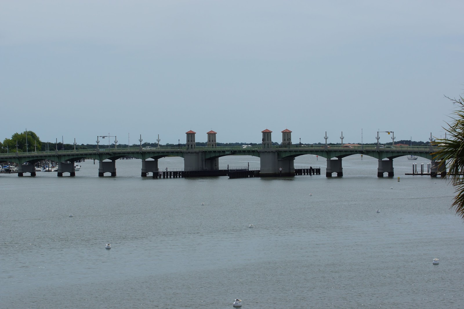
The Bridge of Lions
The Bridge of Lions
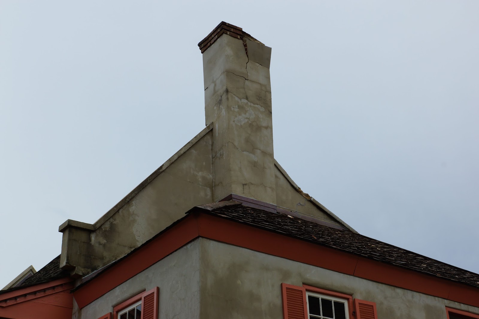
St. Augustine Presbyterian Church
Oldest School & Original Teacher  

St. Augustine City Hall

Thursday, August 15, 2013

Rockledge, FL to Daytona Beach, FL August 15


Private Island for a Day?
We were underway by 0715 from a very calm anchorage near Honeymoon Bay, and passed the Cocoa, FL bridge at 0750.  We were at the NASA Causeway Bridge by 0915, and Titusville at 1000.  We passed a number of small islands, many of which were occupied by one small boat and family…somewhat like having your own island for the day!  Some were a mere ten feet in diameter, and one occupied only by 20 or 30 gulls was even smaller.  It was interesting to see the NASA launch structures and buildings on Merritt Island, and we cut through over to Mosquito Lagoon, passing through the NASA Haulover Bridge across which spacecraft are towed from one end of the property to another. 


Ponce Deleon Inlet Light
Soon after entering Mosquito Bay, we were treated to three or four manatees cavorting about in the shallow water.  There were lots of dolphins as we moved north, and we even saw several more manatees just surfacing and submersing in the waterway near Ponce DeLeon Inlet.  Other locations passed were New Smyrna Beach at 1335, and Munson Bridge near Ponce DeLeon Inlet at 1350. 

 We planned to anchor out at one of the few available spots near Daytona Beach, but it was largely full of permanently moored boats, and much shallower than what the chart avers.  After poking around a bit, we moved on a short distance to the Halifax Harbor Marina.  This is a very large marina complex; some have claimed the largest on the East Coast.  Whether or not that is true, it is nonetheless impressive!
Halifax Harbor Marina


Stuart, FL to Rockledge, FL August 14


Sunset Bay Marina, Stuart, FL
 
We were at the Sunset Bay fuel dock shortly after it opened at 0700.  After adding diesel to the tanks, we departed about 0740, clearing the Roosevelt bridge which opened for us after the morning train.  We had a slow, tense passage down the St. Lucie river…markers were few, far between, and we were pretty well blinded by the early morning sun reflecting off of the water.  We didn’t touch bottom anywhere, but if there was comfortably deep water, we didn’t pass through it until making the turn to the south.  After that, markers were closely spaced to try to keep up with frequent changes in the channel, and we had no difficulty.  We turned north into the Indian River at about 0900, and as we gazed out toward the St. Lucie inlet from the Atlantic Ocean, recalled that almost 2 years ago we were passing this very spot, headed seaward and south en route home to Corpus Christi.
This time, however, we are traveling north up the ICW.  We made good time, passing Jensen  Beach at 0950, Fort Pierce at 1130, and Vero Beach at 1300.  The homes lining the waterway north of Vero Beach are unbelievable—I understand why many travelers to this area take picture after picture of these mansions!  At 1645 we passed through Melbourne, and by 1830 we were anchored off Honeymoon Lake just north of the Palm Shores Bridge.  This was a spacious anchorage in 10 feet of water.  Unfortunately, enough clouds were present to obscure any chance of seeing the Perseid meteors.
I'm not sure why this photo got into the travel narrative, except to point out that, in setting life goals, it is never too early to learn a life skill... 

Tuesday, July 23, 2013

Fort Myers to Stuart Via Lake O July 21-22


Legacy Harbour, Fort Myers
Yesterday, following an early morning rain, we departed Fort Myers about 0745 after a delightful week there.  It did rain at some point every day, even when forecasted not to, but we enjoyed the relaxing time, exploring, and sightseeing, and got to meet some wonderful new friends.  Gail and Chris are relatively recent Kadey-Krogen owners, and they warmly welcomed us to Fort Myers, even taking us to a nearby hole-in-the-wall Mexican restaurant.  Kay has been in near withdrawal for Mexican food, so this was a special treat.  We spent one day at the Edison and Ford Winter Retreat grounds, homes, and museums, and not only learned a great deal of horticulture, but also about some of America’s most impressive inventors and industrialists.  Our stay at Legacy Harbour Marina was first-class, with excellent facilities and staff and a Publix grocery within about three blocks.

Roland Martin Marina, Clewiston
After fighting the current upstream in the Caloosahatchee River all day, passing numerous bridges and locking up in three locks, we passed through the open small lock into Clewiston at the south edge of Lake Okeechobee.  We spent the night tied to a dock at a small marina there, and arrived none too soon.  A half hour after our arrival, a 3-hour thunderstorm with impressive Florida lightning arrived.  We turned in early!

Today we were up early, and by 0645 we were clear of Clewiston, out in Lake Okeechobee, and headed east.  We crossed the lake, passed through two locks (the last of which lowered us fourteen feet!), and several more bridges before arriving about 1330 at Sunset Bay Marina in Stuart.  Progress was much more satisfying today, as we were traveling downriver WITH the current.  We will likely leave the boat here a couple of weeks while we return to Texas.

Railroad Swing Bridge
Ortona Lock Opening


Tuesday, July 16, 2013

Englewood, FL to Fort Myers, FL July 15


We got an early start, off around 0700, with the plan being to get to Fort Myers.  We did have to wait for the next scheduled opening at one bridge for about 20 minutes, but otherwise made good progress.  The swing bridges we have encountered the last two days have been unusual, both with center pivots.  Yesterday the bridge tender had to walk out from the house to the center of the bridge and operate the bridge from that location on the center pivot.  She was out there on the little center pivot as we passed by; I suppose she swims back if the bridge does not close.  The larger swing bridge today required three employees; one climbed down beneath each end of the bridge to manually remove a latching pin, and then the third man operated the bridge from the control house (at least not from out on the center pivot point).  One would think that the unlatching could be accomplished remotely with the saving of two salaries…
From time to time as we've traveled, various birds have come to audition for the position of Ship's Maidenhead.  This fellow rode along with us for about a mile...

We then passed down behind Cayo Costa, North Captiva Island, Captiva Island, and Sanibel Island.  These well-known resort areas had little visible development from the ICW side, though we know that the beach-front development is more extensive.  Also, there were relatively few available good anchorages, and shallow water extends a long way in from shore.
About 1230 we reached Mile 0 of the Gulf Intracoastal Waterway at the mouth of the Caloosahatchee River near Fort Myers.  We proceeded upriver about fifteen miles amid rain showers, and after slowing to allow showers to pass, we docked about 1430 at Legacy Harbour Marina, which will be our base for a few days before we depart Florida’s west coast for Lake Okeechobee and then the east coast.